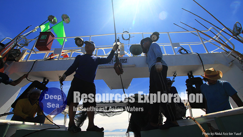
"Training Workshop on Benthic Habitat Mapping, 18‐22 February 2013, Southeast Asian Fisheries Development Center, Samut Prakan, Thailand"
The Workshop wasl provided participants the knowledge‐based of benthic habitat mapping techniques and procedures. Start with the mapping overview on how to identify the habitat and then introduce participants to the optimal methods for habitat mapping and analysis such as sampling design, survey tools and techniques, type of data used, and case studies. Two‐day in lecture and discussions and three‐day of training on‐board M.V. SEAFDEC 2 in the Gulf of Thailand were conducted. Emphasis will be placed on: how to develop habitat maps using hydro‐acoustic (Echo sounder) and underwater video and imaging and benthic sampling technique; how to describe and classify the habitat using such scientific equipments. Completion of a 5‐day workshop is required for participation in this workshop. Presentations and hands‐on exercises werel familiarize and develop participant’s skills of mapping and monitoring the seafloor ecosystem.
Envisaged Outcomes:
1. to enhance participants knowledge and experiences on techniques and procedures of benthic habitat mapping; and
2. to build human resources capacity through demonstration and on‐board practices using hydro‐acoustic, underwater video and imaging and benthic sampling technique.
Activities Summary
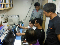
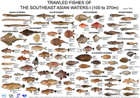
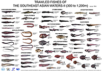
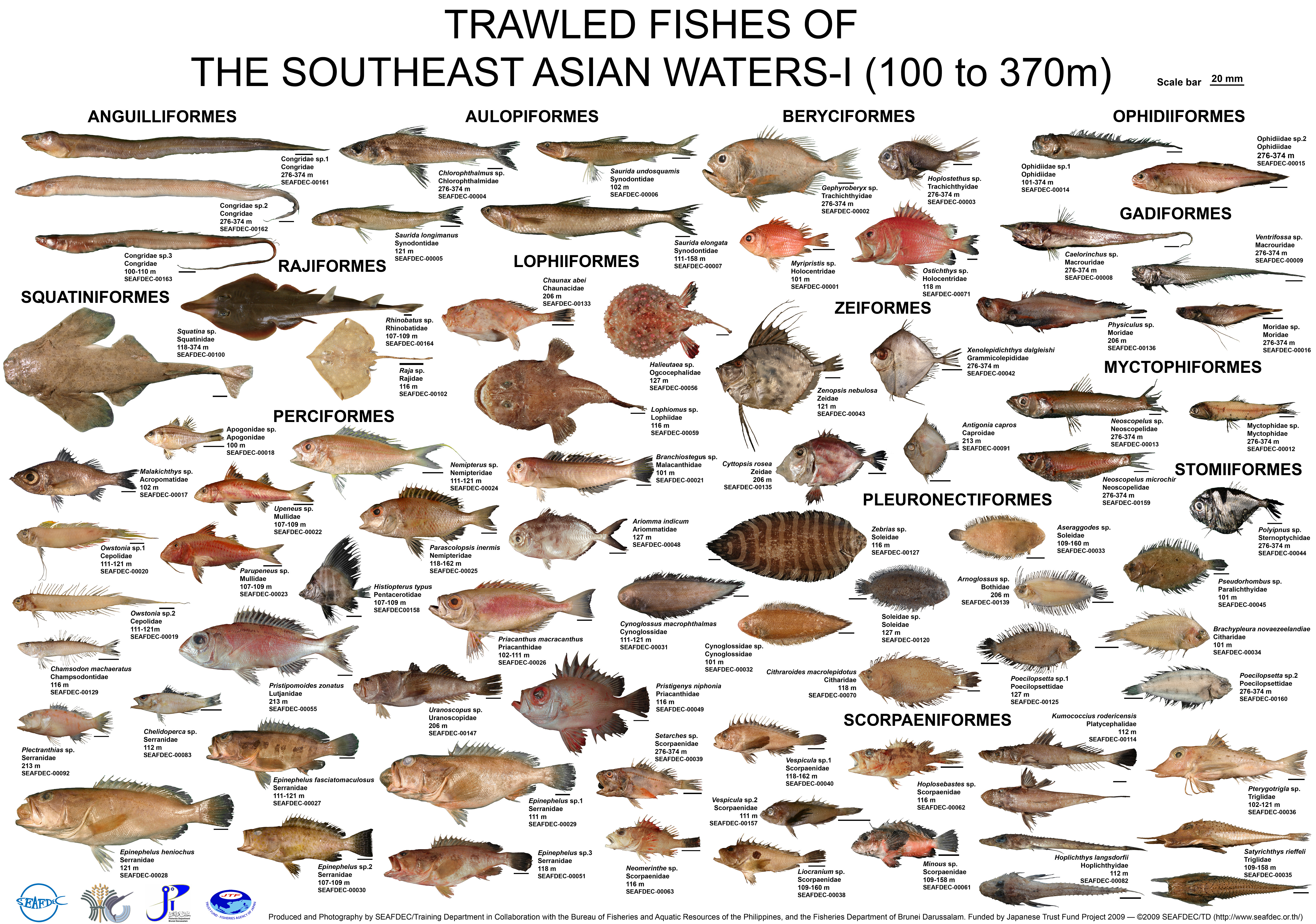
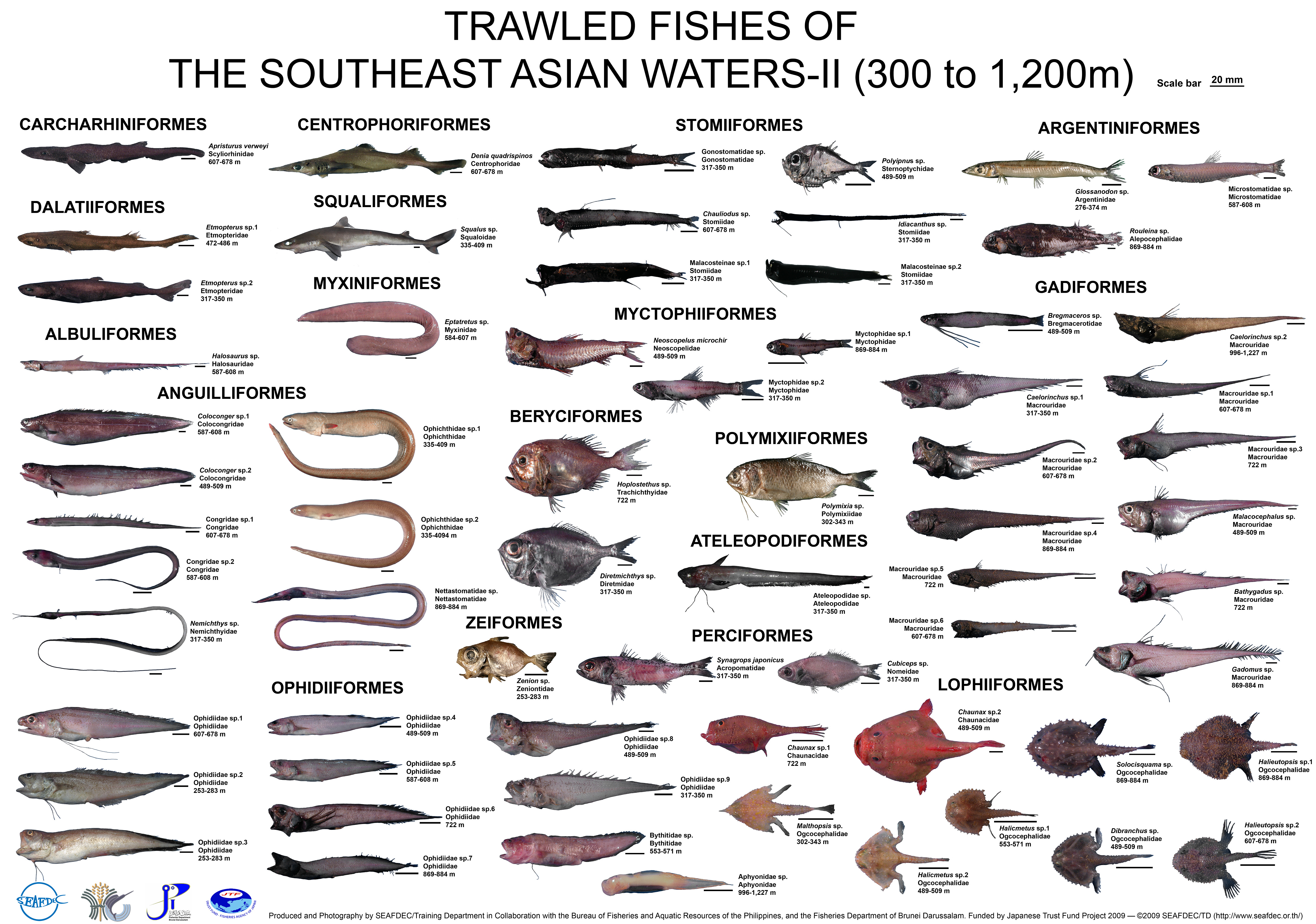
Lecture: Two topics related to the bottom topography survey and mapping the sea floor basic knowledge were lectured by Asst.Prof. Pachoenchoke Jintasaeranee (Ph.D.) from Department of Aquatic Science, Faculty of Science, Burapha University. He also shared his experience on sea floor mapping project in collaboration with German University in Andaman Sea. A case study on the deep-sea exploration in Indonesia and Philippines waters were shared among participants by Dr. Fayakun Satria and Ms. Riczyneth A. Arinque.
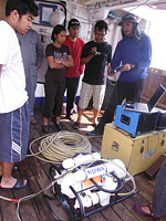
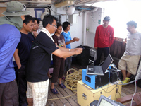
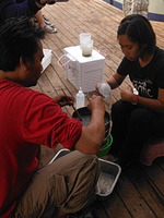
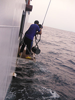
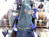
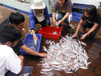
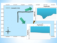
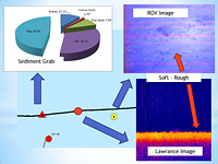
Demonstration and Training aboard M.V.SEAFDEC2
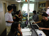
1. Topographic survey and data analysis
2. Remotely Operated underwater Vehicle (ROV)
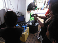
3. Underwater VDO camera (SEA Viewer underwater VDO camera)
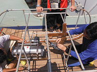
4. Substrate classification using grab for sediment collection
5. Bottom trawl for biotic composition
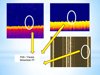
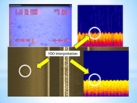
6. Results from the mapping generated by linkage with the hydroacoustic data, underwater camera, and biotic sampling
<>< <>< <>< <>< <>< <>< <>< <>< <>< <>< <>< <>< <>< <>< <>< <><
